Data-Driven Insights About Earth From Space
Inform your science, business, and land management decisions with data from long-term, global satellite imagery.
Inform your science, business, and land management decisions with data from long-term, global satellite imagery.
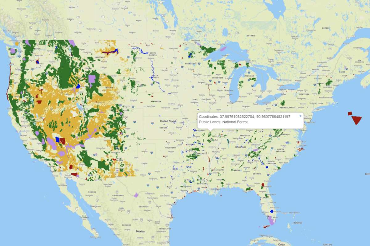

TerraPulse is informing the land-use economy from the private landowner to the United Nations.
Relied upon by individual timberland owners as well as agencies as large as NASA, World Bank, the US Forest Service and the US Bureau of Land Management, our algorithms apply decades of expertise in satellite image analysis to automate the provision of actionable, near real-time, and cost-effective decision-making tools to serve the land and natural resource economies.
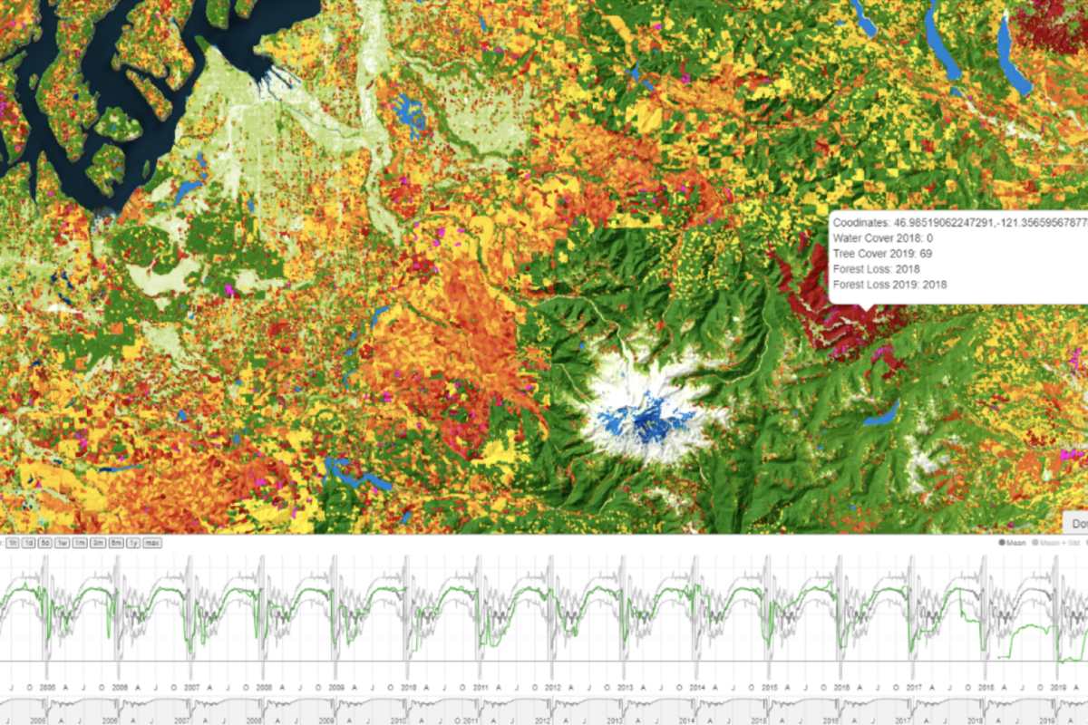
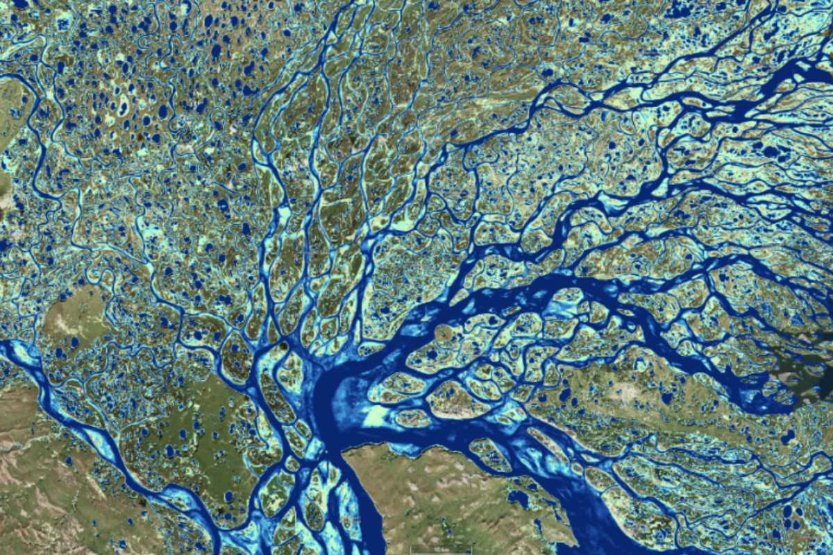
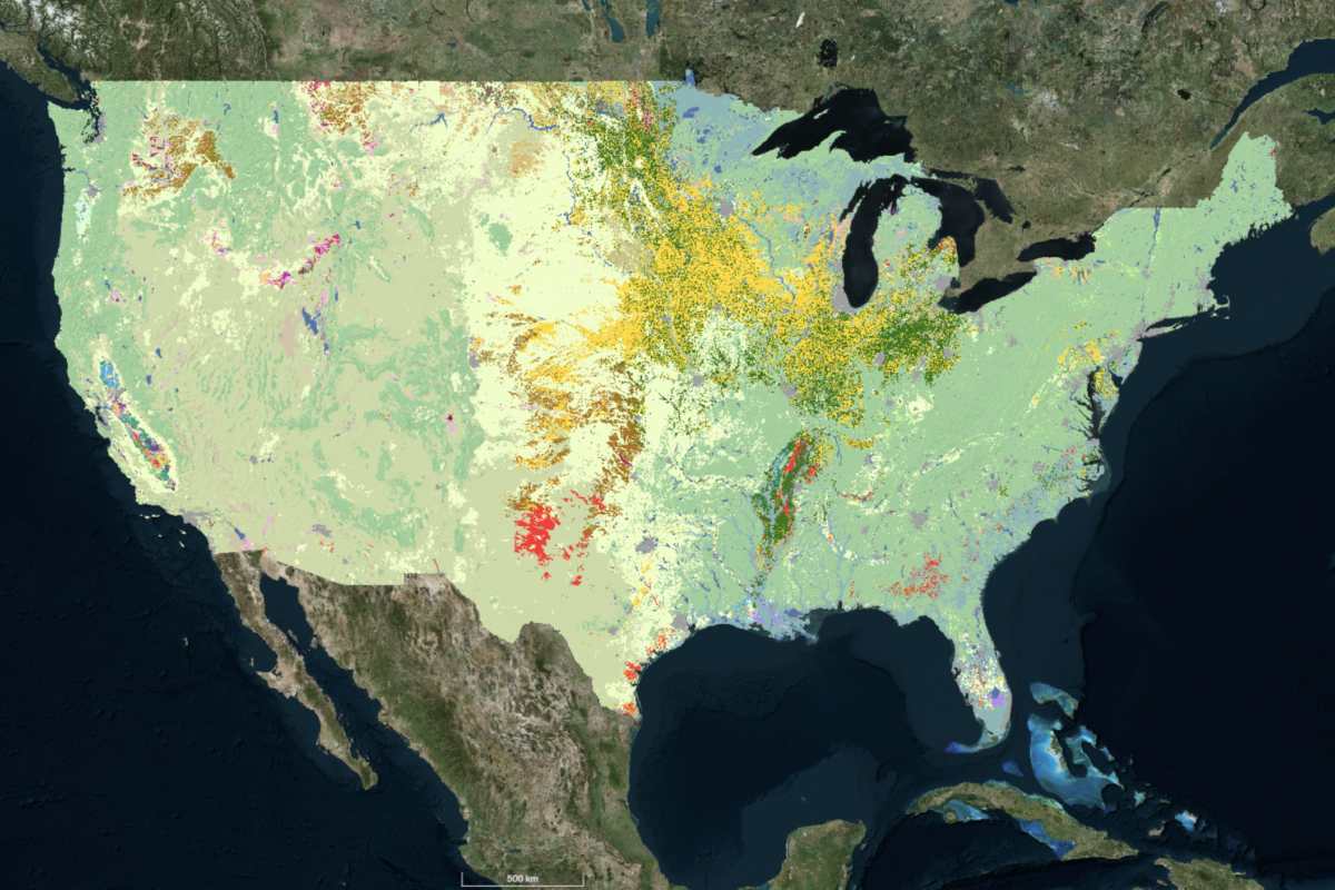
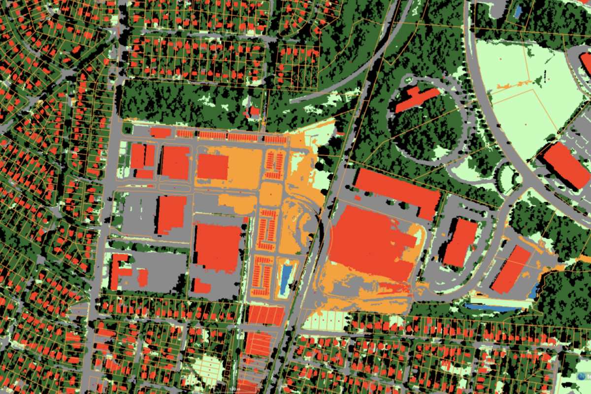
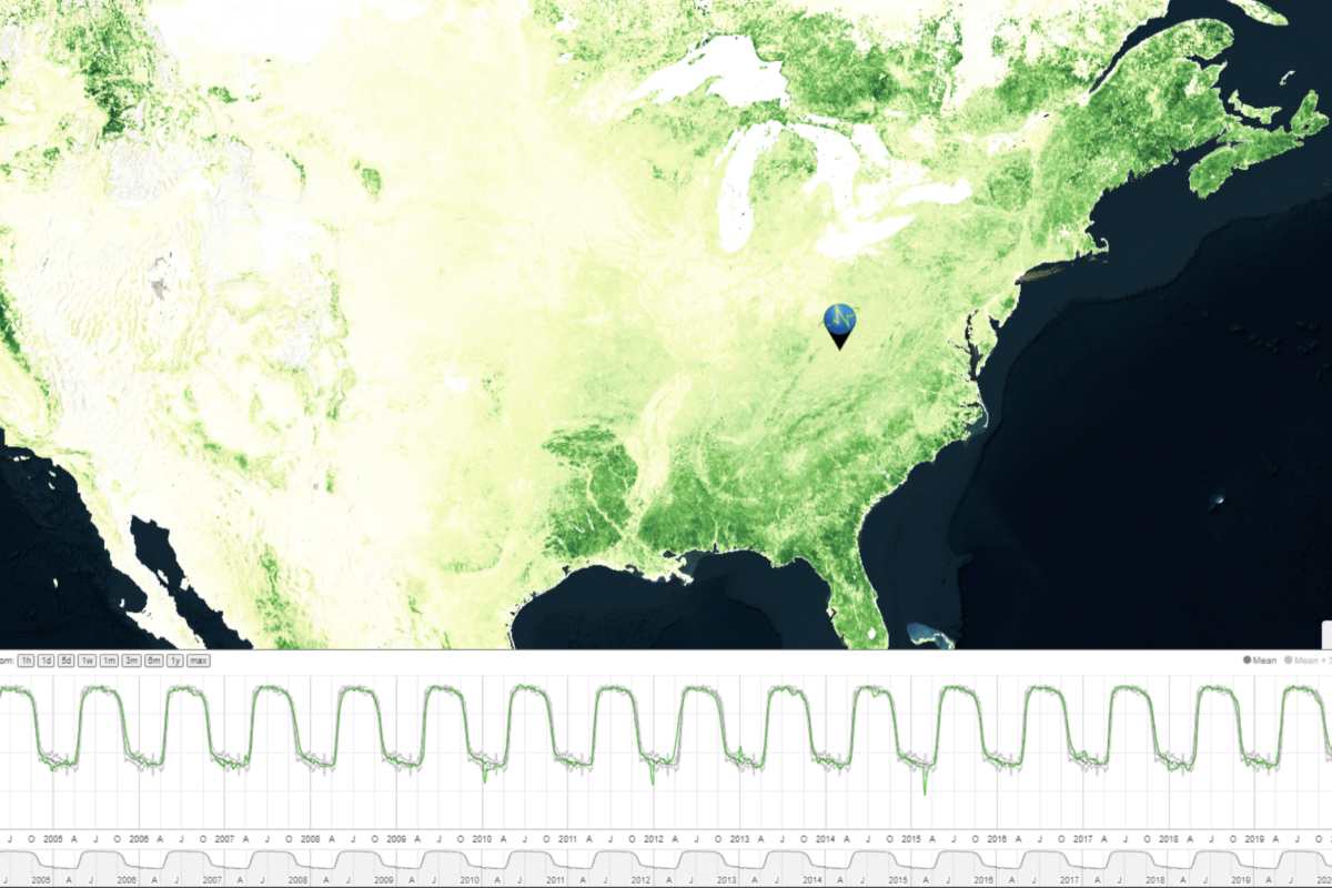
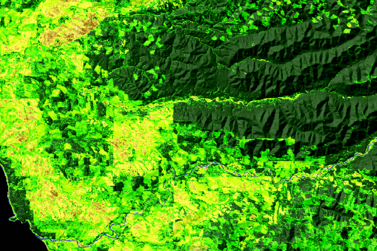
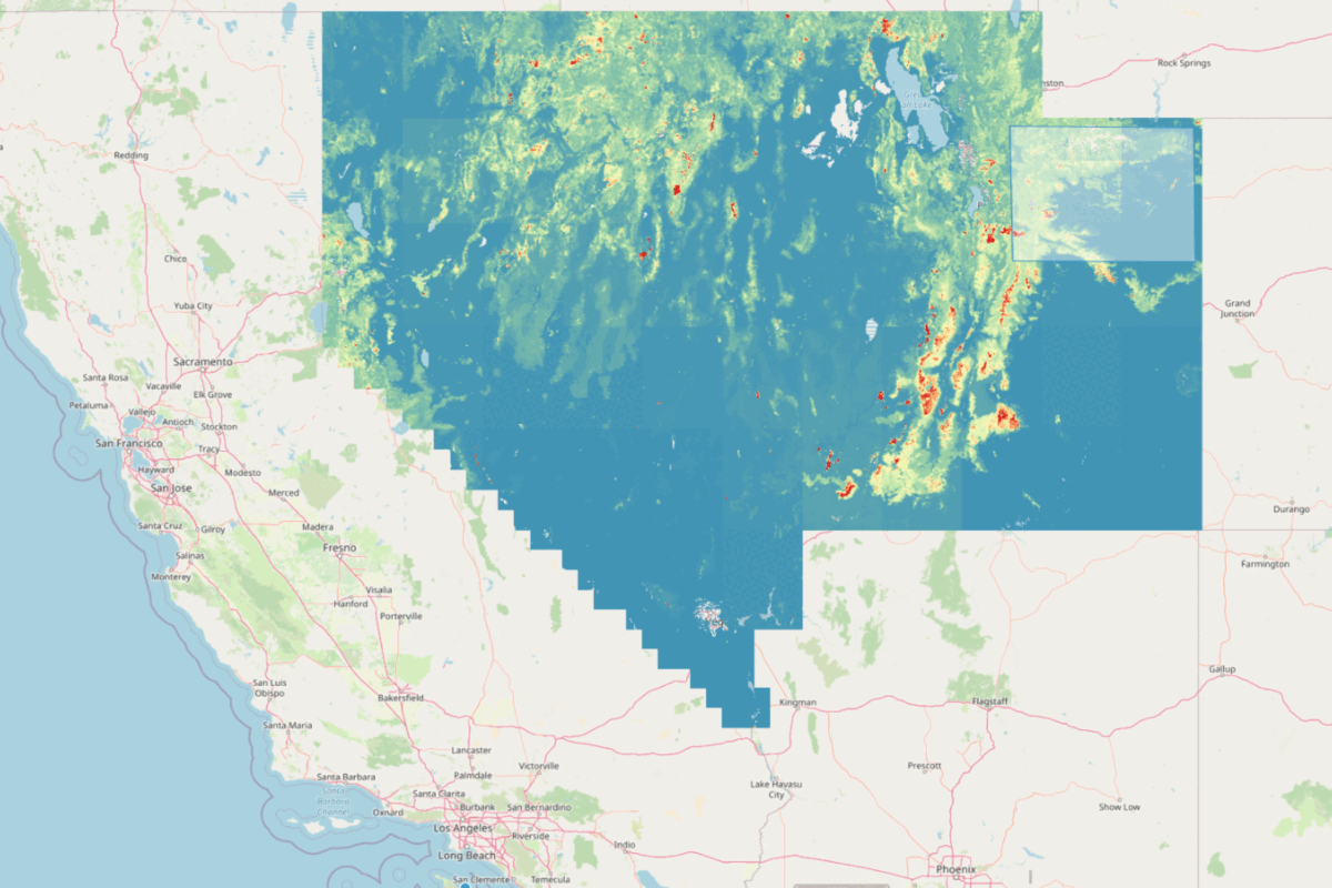
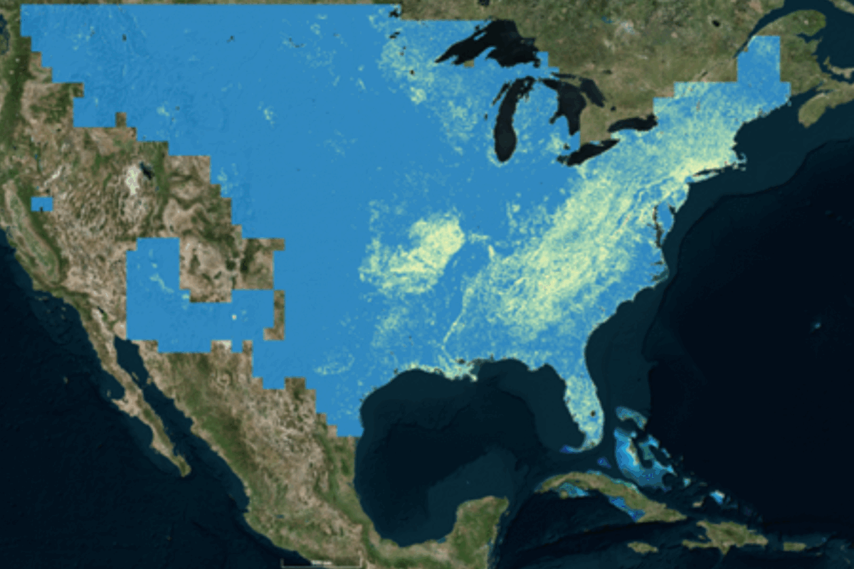
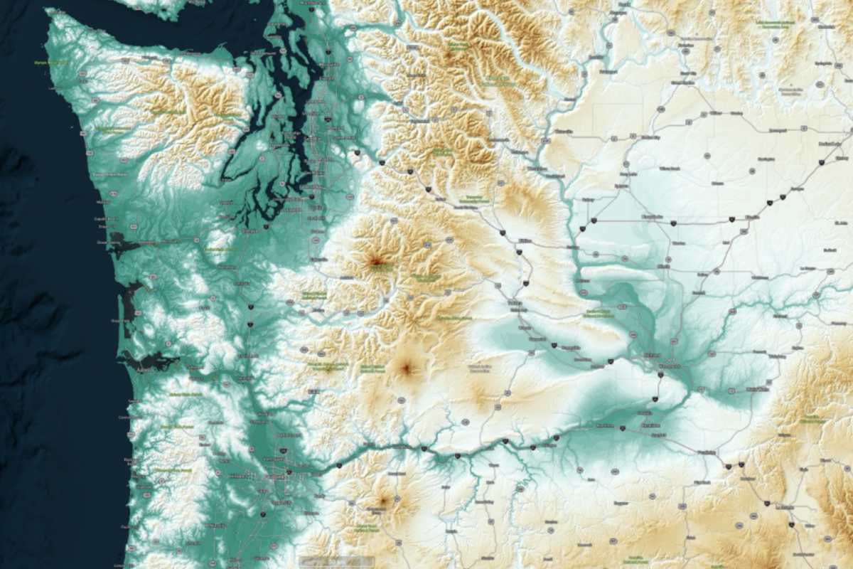
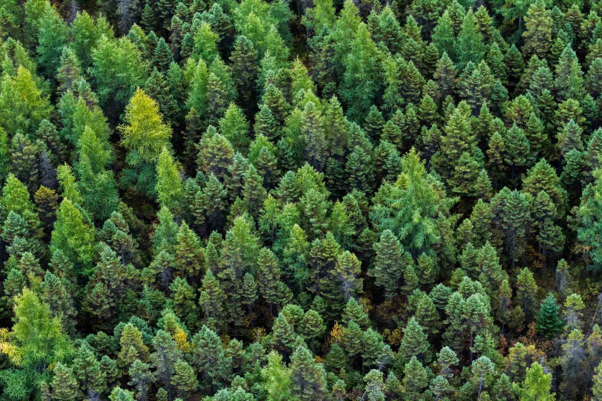
We map and monitor the status, history, and potential of large landscapes through satellite-based measurements of forest-, crop-, range-, and wildland productivity, and we provide the resulting information through simple, efficient interfaces tailored to specific market and industry applications. Our algorithms apply decades of expertise in geospatial intelligence, machine learning, and satellite image analysis to streamline the provision of actionable, real-time data to clients in the public and private sectors.
We answer all email and requests as they come in. If you have an urgent matter or would like to place an order please click the link below to give us a call.