Wildfire

The terraPulse Wildfire dataset estimates the probability of fire occurrence as a function of land cover, terrain, plant phenology, and climate.  The algorithm is trained on over 20 years of fire history, by ecoregion, in correlation to the suite of terraPulse datasets as predictors. Certainty  is represented by Root Mean Square Error.

Data products are available at up to daily, 10-meter resolution or as longer-term (e.g. annual or multi-decadal) summaries at pixel or coarser resolutions.

Standard Data Products

Unit: probability of fire

Scale:

             Spatial: up to 10-m resolution, global extent

             Temporal: up to daily resolution from 2017 – present 

Latency: up to ~2 weeks


Unit: date and/or area of fire

Scale:

             Spatial: up to 500-m resolution, global extent

             Temporal: up to daily resolution from 2001 – present 

Latency: previous year

Unit: probability of ignition given vegetation (fuel) and terrain

Scale:

             Spatial: up to 10-m resolution, global extent

             Temporal: up to daily resolution, 1984 – present

Latency: previous year

Unit: probability of ignition given vegetation (fuel), terrain and weather

Scale:

             Spatial: up to 10-m resolution, global extent

             Temporal: up to daily resolution, 1984 – present

Latency: previous year

Unit: biomass (Mg C or Mg C/ha) or other asset value (e.g., habitat, tree cover)

Scale:

             Spatial: up to 10-m resolution, global extent

             Temporal: up to daily resolution, 1984 – present

Latency: previous year

Unit: asset value (e.g., biomass, tree cover, habitat) x probability of ignition

Scale:

             Spatial: up to 10-m resolution, global extent

             Temporal: up to daily resolution, 1984 – present

Latency: previous year

Unit: difference in asset value (e.g., biomass, tree cover, habitat) or index (e.g., dNBR)

Scale:

             Spatial: up to 10-m resolution, global extent

             Temporal: up to daily resolution, 1984 – present

Latency: previous year

Case Studies

Coldwell Banker uses terraPulse to monitor loss of Florida’s orange groves
The US Bureau of Land Management uses terraPulse to improve forage for mule deer and livestock
The Utah Agricultural Extension service uses terraPulse to inform ranchers statewide

Case Studies

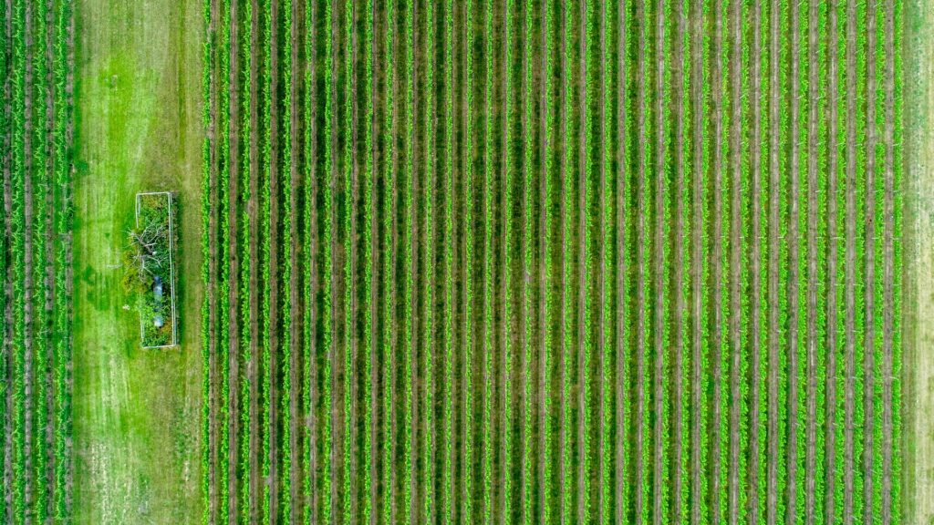
rows of crops
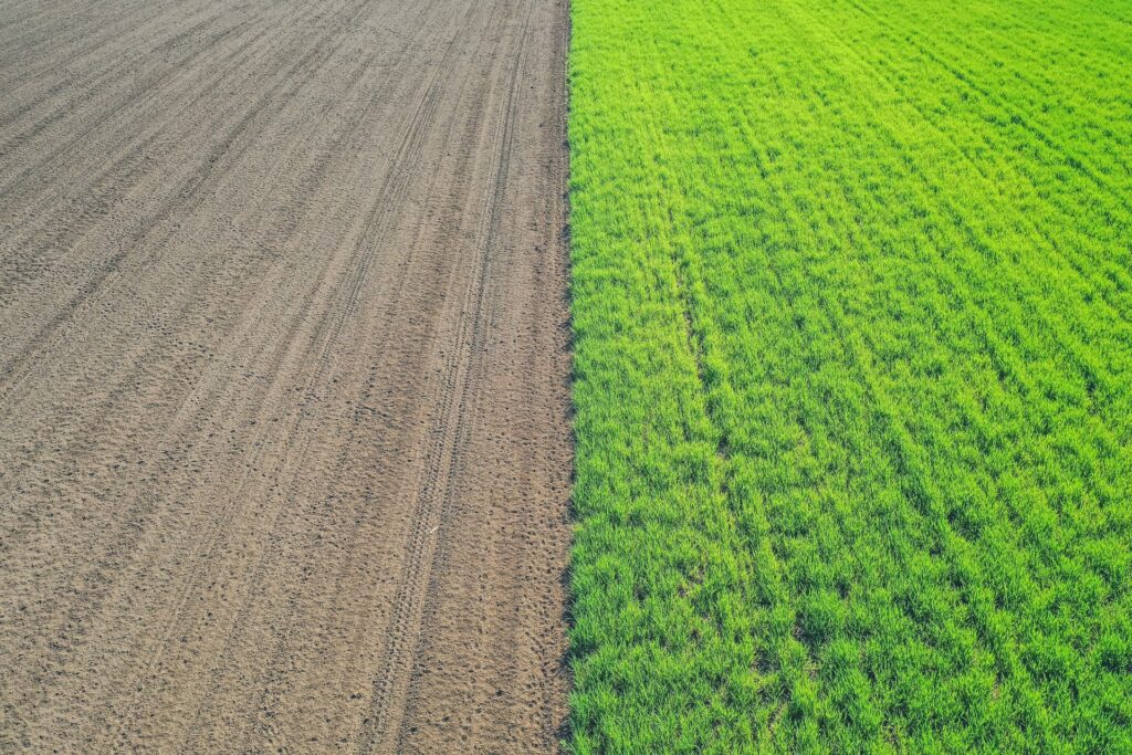
tilled agricultural soil
clear soil and
Unit:

percent of area

Scale:

Spatial: 30-m resolution, global extentextent
Temporal: annual resolution from 1984 – present

Source:

terraPulse

Latency:

previous year

Get in touch with an expert
We respond within 48 hours

We answer all email and requests as they come in. If you have an urgent matter or would like to place an order please click the link below to give us a call.