


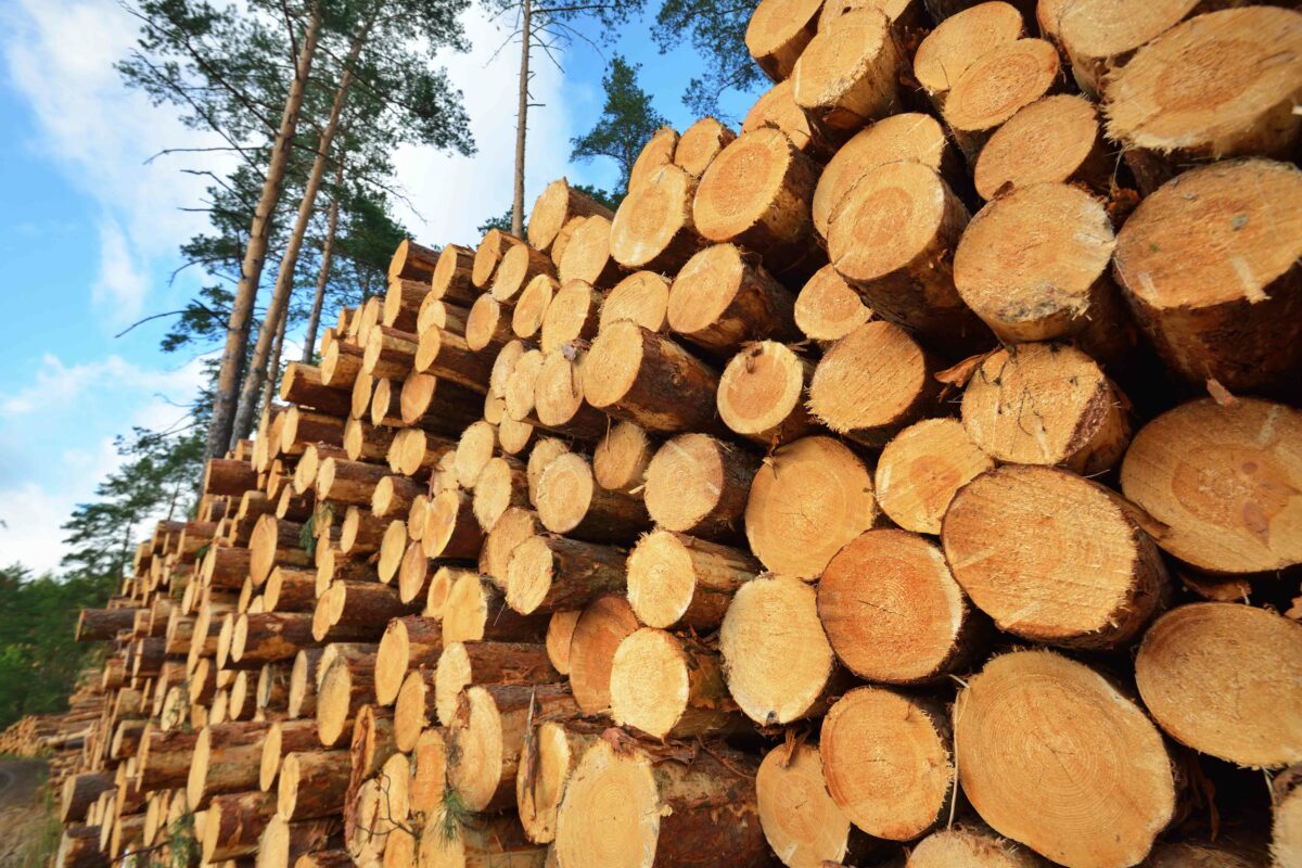
Enviva Biomass uses terraPulse to verify reforestation in its supply chain
Belize uses terraPulse to monitor forest change
The Philippines’ Forest Management Bureau uses terraPulse to establish forest reference emission and baseline activity levels
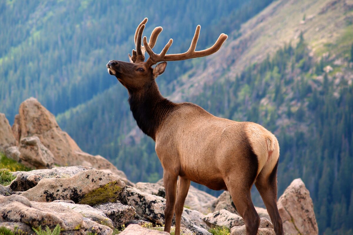
Idaho Department of Fish & Game uses terraPulse to predict deer and elk populations
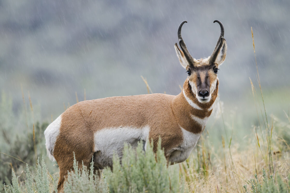
Nevada Department of Wildlife uses terraPulse to monitor pronghorn antelope habitat
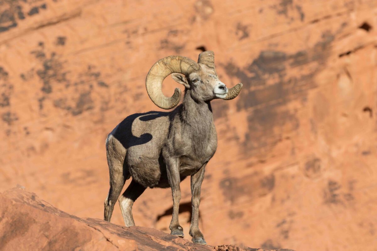
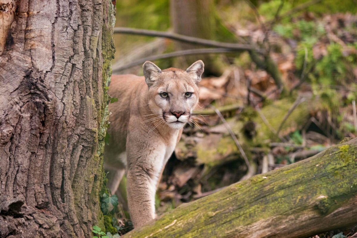
USGS scientists use terraPulse to understand desert bighorn sheep migrations
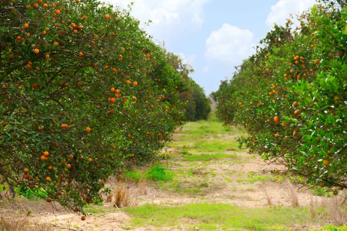
Coldwell Banker uses terraPulse to monitor loss of Florida’s orange groves
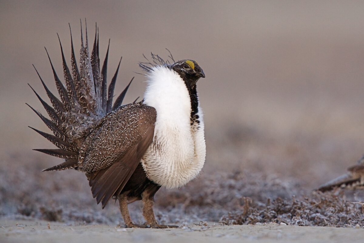
The US Bureau of Land Management uses terraPulse to improve forage for greater sage grouse and livestock.
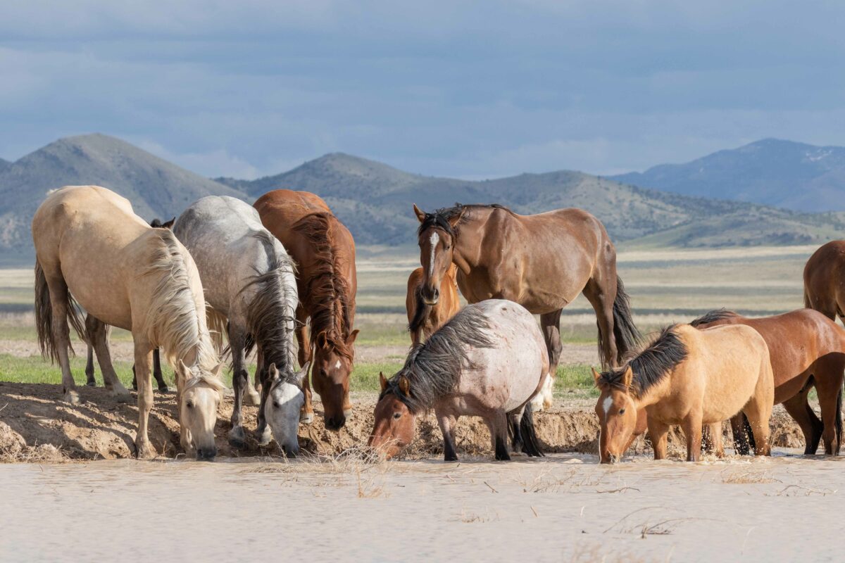
The Utah State University Agricultural Extension Service uses terraPulse to inform ranchers statewide

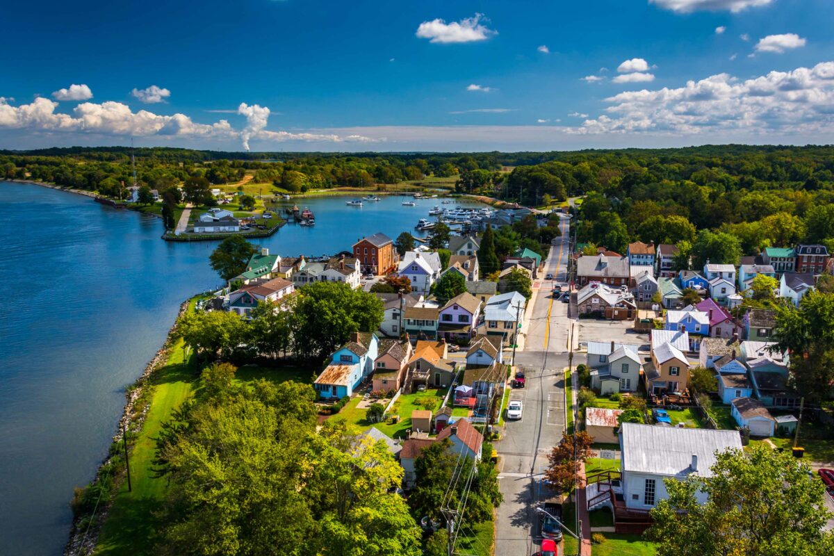
Coldwell Banker uses terraPulse to broker land development
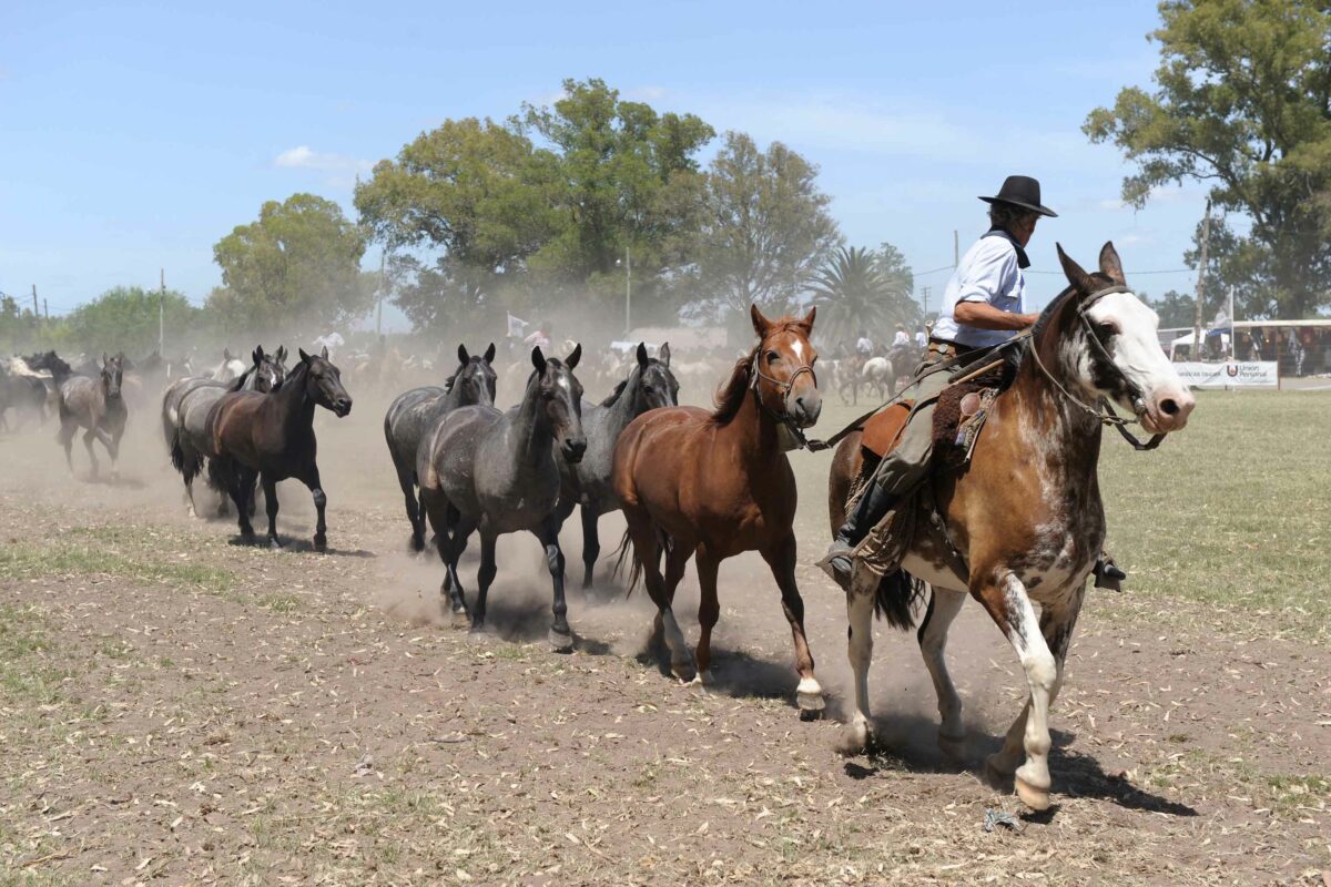
LandEnviro uses terraPulse to scout carbon investments in Argentina
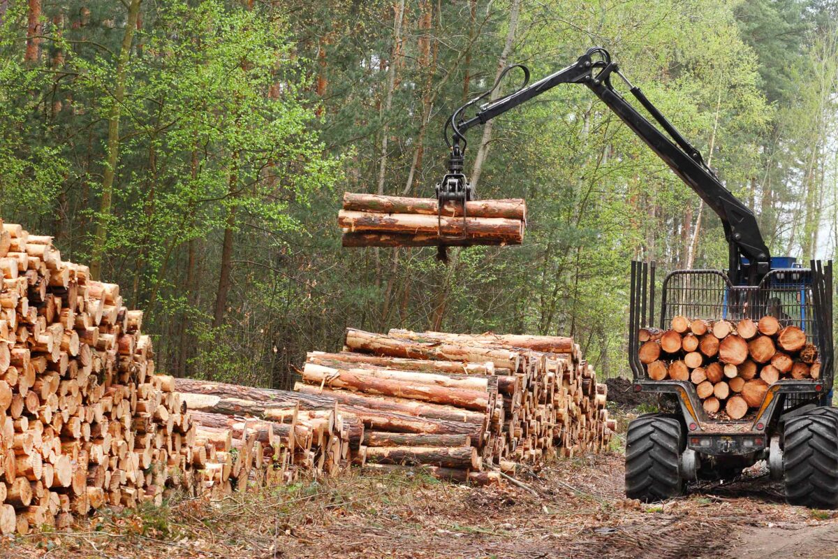
Enviva Biomass uses terraPulse to verify reforestation in its supply chain
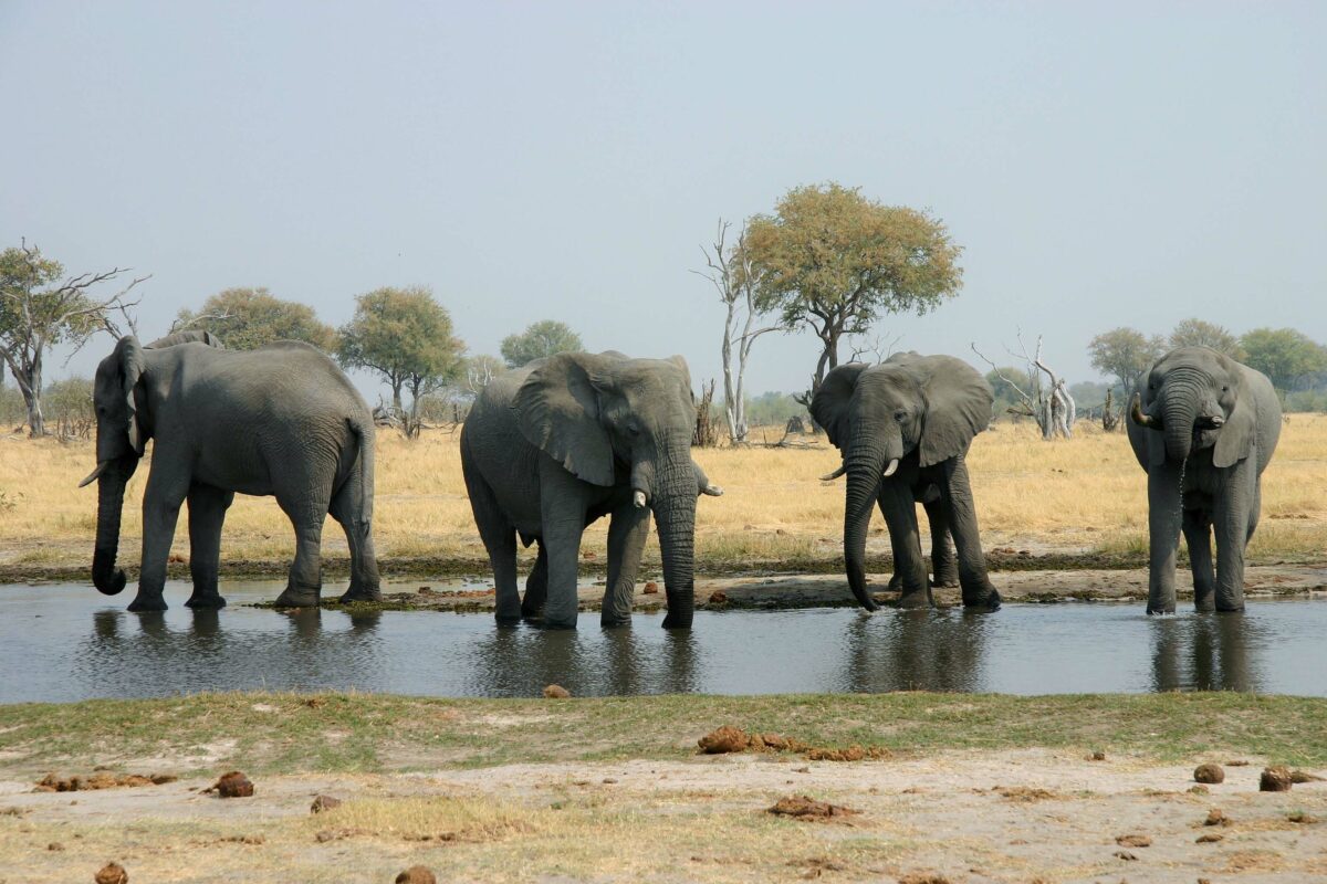
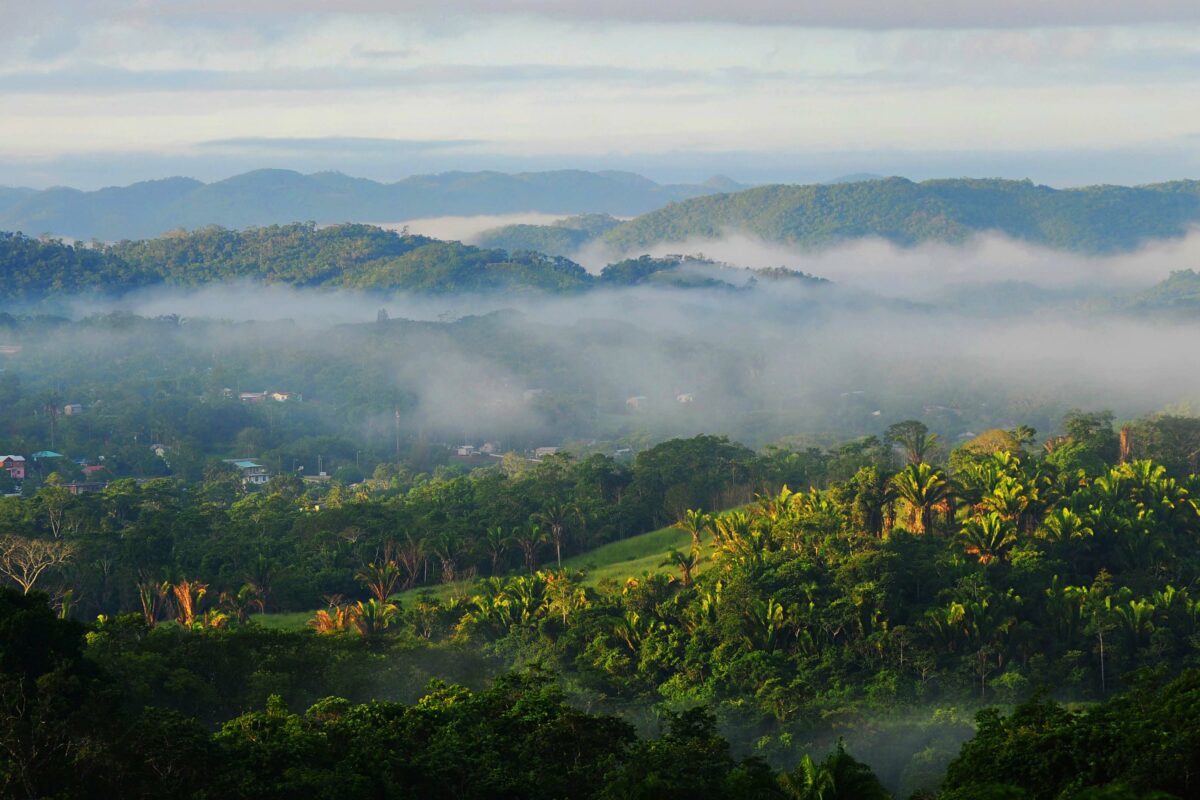
National Geographic uses terraPulse to protect the headwaters of the Okavango River
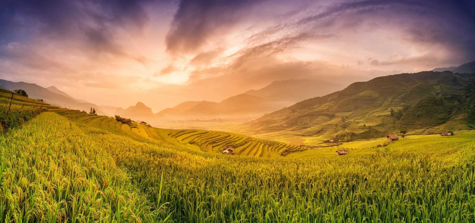
USAID uses terraPulse to help the Philippines enter the carbon market
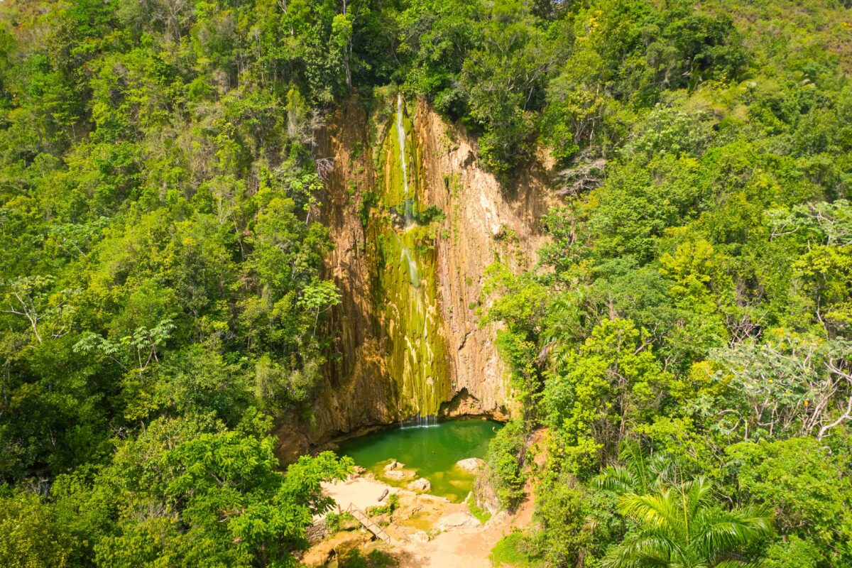
World Bank uses terraPulse to help the Dominican Republic enter the carbon market
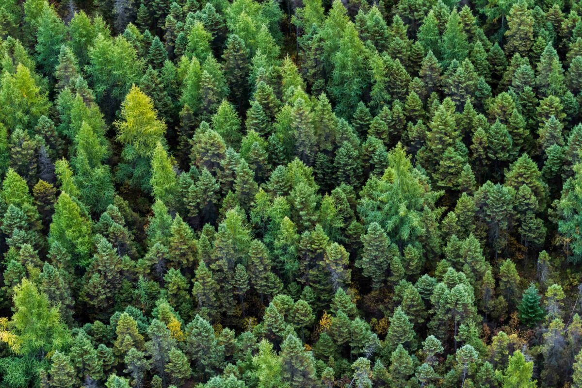
NASA scientists use terraPulse to study the boreal forest
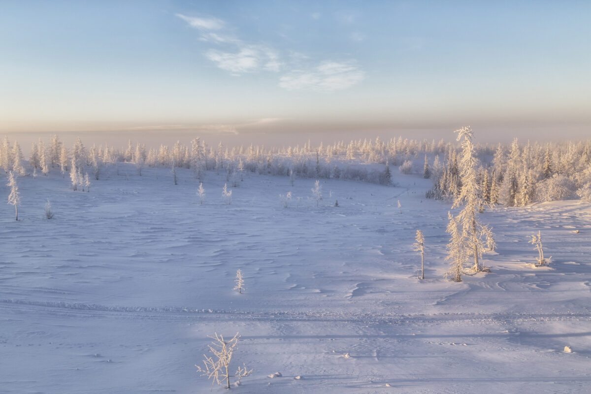
Scientists at the University of Alaska use terraPulse to study the Arctic tundra