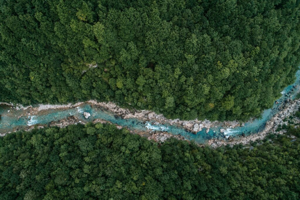
Trees and Forests

The terraPulse Forest dataset is based on time-serial maps of tree cover, the percentage of horizontal area in each pixel covered by woody vegetation taller than 3 to 5 meters. The dataset is available from 1984 to present at up to 10-meter resolution for any region, as well as derivative tree- and forest-cover change and integrated stand age and time since disturbance. Through the terraPulse Land Cover Dataset, the tree-cover layer is also available as a binary measurement at 1-meter resolution, with historical coverage depending on availability of high-resolution imagery. Certainty of continuous data products (e.g., Tree Cover) is represented by Root Mean Square Error, and certainty of categorical products is represented by probability of class membership.

Standard Data Products

Unit: percent of area

Scale:

            Spatial: up to 10-m resolution, global extent

            Temporal: up to monthly resolution from 1984 – present 

Latency: previous year

Source: terraPulse

Unit: percent of area

Scale:

            Spatial: up to 10-m resolution, global extent

            Temporal: annual resolution from 1984 – present 

Latency: previous year

Source: terraPulse

Unit: percent of area

Scale:

            Spatial: up to 10-m resolution, global extent

            Temporal: annual resolution from 1984 – present 

Latency: previous year

Source: terraPulse

Unit: binary (forest/nonforest)

Scale:

            Spatial: up to 10-m resolution, global extent

            Temporal: up to monthly resolution from 1984 – present 

Latency: previous year

Source: terraPulse

Unit: binary, significance (probability)

Scale: Spatial: 30-m resolution, global extent

            Temporal: annual resolution from 1984 – present 

Latency: previous year

Source: terraPulse

Unit: binary, significance (probability)

Scale: Spatial: 30-m resolution, global extent

            Temporal: annual resolution from 1984 – present 

Latency: previous year

Source: terraPulse

Unit: years since establishment/detection (forest gain)

Scale: Spatial: 30-m resolution, global extent

            Temporal: annual resolution from 1984 – present 

Latency: previous year

Source: terraPulse

Case Studies

Enviva Biomass uses terraPulse to verify reforestation in its supply chain
Belize uses terraPulse to monitor forest change
The Philippines’ Forest Management Bureau uses terraPulse to establish forest reference emission and baseline activity levels

Case Studies

chemical composition overlay
zzzz
river flowing through
united states forest
Get in touch with an expert
We respond within 48 hours

We answer all email and requests as they come in. If you have an urgent matter or would like to place an order please click the link below to give us a call.